British Columbia Maps Home > British Columbia Map Collection > Vancouver Overview Map
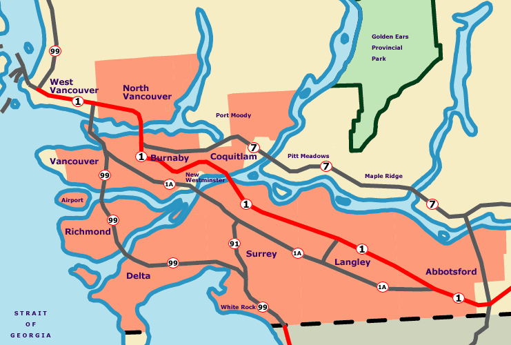
Printable Map of Vancouver Overview

Above is a simple map revealing the geography of this region with a classic selection of details.
You have permission to download this map and utilize it in your projects. Giving credit to this webpage would be helpful.
If you need assistance finding a map, a particular map, or need a suitable custom cartographic design, please contact our map specialists.
Order high quality specially made maps from us. Custom maps made by YellowMaps encompass a large combination of elements, e.g.: streets, scale bar, UTM coordinates, air navigation features, conservation areas, undersea features, cliffs, or provinces, etc. Types of maps vary from trail to blank, printable to printed, global to state legislative districts.
Suitable maps are exact, well-defined, and not old. Detail-Oriented cartography by YellowMaps.
To order actual maps that get delivered in the mail to your home, for example navigational charts, country maps, or maps for canoeing, please do not hesitate to go to our map store It has thousands and thousands map items.
When in doubt, just ask us. We answer emails quickly.
Back to British Columbia map collection